

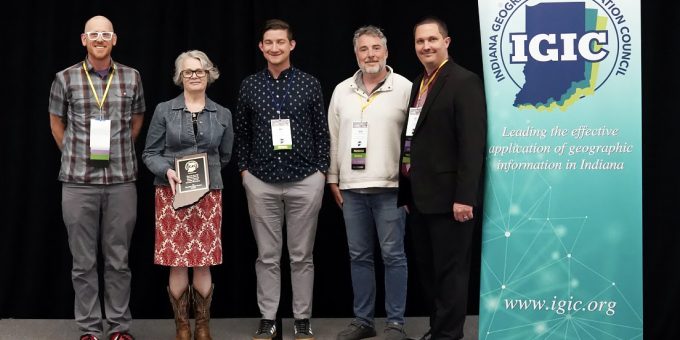
BLOOMINGTON — A local librarian’s efforts to map the lives of 19th-century Indiana residents have earned statewide recognition. The Monroe County Public Library (MCPL) announced that Adult Services Librarian Christine Friesel has received the prestigious Special Achievement in GIS Award from the Indiana Geographic Information Council (IGIC).
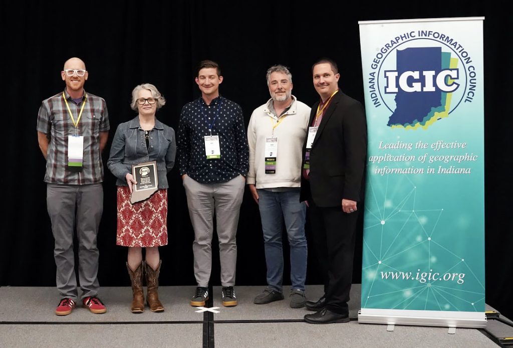
Friesel was honored as a key team member of “Hoosier Character,” a highly collaborative geographic information system (GIS) project that bridges local history with modern digital mapping.
The initiative is a joint venture bringing together the expertise of the Monroe County Public Library, the Monroe County History Center, and the Monroe County GIS Division.
The Hoosier Character project traces and maps the exact geographic footprints of 19th-century Indiana residents. By blending traditional genealogical records with community oral histories, the project allows users to type in a modern address to discover the historical stories tied to that specific piece of land.
“Hoosier Character uses interactive mapping to uncover the stories of 19th-century Hoosiers and connect them to places across Indiana today,” said Tori Lawhorn, Communications and Marketing Director at the Monroe County Public Library.
The IGIC’s Special Achievement in GIS Award is reserved for unique geospatial projects built through dedicated teamwork. According to the council, the award recognizes initiatives that demonstrate a strong commitment to collaboration within the Indiana GIS community while performing pioneering work to create an outstanding public information resource.
By combining the historical archives of the History Center, the public outreach of the library, and the technical infrastructure of the county’s GIS division, the team successfully turned centuries-old data into an interactive, user-friendly tool.
The Hoosier Character platform is fully complete and available online for local historians, genealogists, and curious residents looking to explore the roots of their own neighborhoods.

