

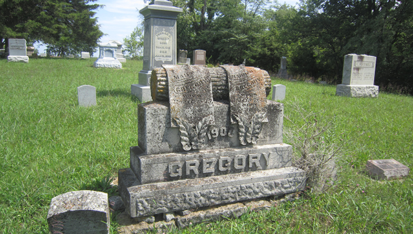
INDIANA — Developers and property owners planning construction projects near cemeteries in Indiana are subject to updated guidance following a statutory change to state preservation laws, according to the Indiana Department of Natural Resources (DNR) Division of Historic Preservation and Archaeology (DHPA).
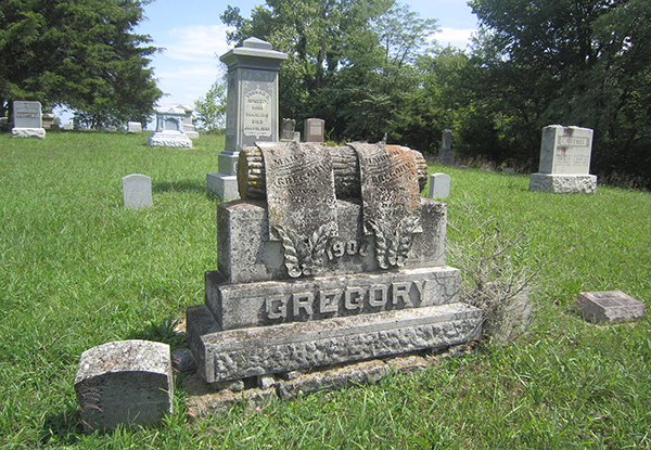
Effective July 1, 2026, the Indiana General Assembly formally codified cemetery development plan requirements into state statute under Indiana Code 14-21-1-25.1. The regulations were previously governed under administrative rule 312 IAC 22.5, which has been superseded by the new code section.
Understanding the 100-Foot Rule
Under state law (IC 14-21-1-26.5), any individual, municipality, or entity intending to disturb the ground within 100 feet of a cemetery or burial ground for the purpose of erecting, altering, or repairing a structure must submit and receive approval for a Cemetery Development Plan (CDP) before work begins.
The law is designed to ensure construction and development activities take surrounding burial sites into account without causing accidental damage or encroachment. While it does not outright prohibit construction near cemeteries, failure to submit an approved plan before ground disturbance constitutes a violation of state historic preservation laws.
Certain entities, including public utilities, municipally owned utilities, and permitted surface coal mining operations, maintain specific statutory exemptions under state law.
What the Updated Guidance Requires
In conjunction with the statutory shift to IC 14-21-1-25.1, state preservation officials have issued updated guidelines outlining the required documentation for CDP applications. Applicants must allow up to 60 days for the DHPA to review submitted plans.
Key requirements for a Cemetery Development Plan include:
- Applicant & Project Details: A signed cover letter specifying project leadership, overall nature, timeframe, precise location (section, township, range, and county), prior ground disturbance, and state/federal funding status.
- Site Mapping: Detailed maps referencing nearby landmarks, construction footprints within 100 feet of the cemetery, and USGS 7.5-minute quadrangle mapping.
- Cemetery Documentation: Historical background, dates of use, and verified boundaries. If boundaries are unverified, applicants may be required to conduct archaeological investigations or remote sensing.
- Environmental & Soil Descriptions: Analysis of soil types, expected depth of disturbance, and structural footprints within the 100-foot buffer zone.
- Photographs & Permission: Clear, recent photography of the cemetery and adjacent grounds, alongside written authorization from landowners if the applicant does not own the property.
Submissions and Review Process
The DHPA strongly encourages electronic submissions to streamline the 60-day review timeline. Applications and inquiries can be submitted directly via email to DHPAReview@dnr.in.gov or mailed to the Division of Historic Preservation and Archaeology at the Indiana Government Center South in Indianapolis.