

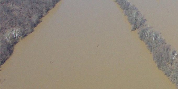
INDIANA – The Indiana Department of Natural Resources (DNR) Division of Water has announced the completion of its monthly update for the Best Available Flood Hazard Data.
The March 2026 update includes refined mapping for several key streams and tributaries across nine Indiana counties. This data is critical for local plan commissions, insurance agents, and property owners to accurately assess flood risks and determine regulatory requirements for construction and flood insurance.
Regional Data Updates
The following counties and specific waterways have been updated in the latest dataset:
- Bartholomew County: Wolf Creek and UNT Wolf Creek
- Monroe County: Big Creek
- Dubois County: UNT Hunley Creek
- Hancock County: Boots Ditch
- Allen County: Hamm Ditch
- LaPorte County: UNT Little Kankakee River
- Noble & Whitley Counties: Friskney Ditch
- Porter County: Wieland Ditch
“Best Available” flood data often provides a more granular and updated view of flood risks than older Flood Insurance Rate Maps (FIRMs). These updates typically incorporate newer topography, improved hydraulic modeling, and recent changes to land use or drainage infrastructure.
For developers and local officials, using the most current data is a requirement for ensuring that new structures are built safely above projected flood elevations.
Accessing the Data
The updated layers are now live and accessible through the state’s geographic information systems. Professional mappers, engineers, and developers can access the ArcGIS REST services directly via the Indiana GIS data portal:
Official Resource Link: Indiana Best Available Flood Hazard Layer
Residents can also view these changes through the Indiana Floodplain Information Portal (INFIP), which provides an interactive map to check specific addresses for flood zone designations.
The Division of Water continues to update these layers monthly as new studies are completed. Property owners in the affected counties who have questions regarding how these updates impact their flood insurance or building permits are encouraged to contact their local floodplain administrator or the Indiana DNR Division of Water.

