


BLOOMINGTON— The City of Bloomington announced that it has been selected by the National Oceanic and Atmospheric Administration (NOAA) for the 2024 Urban Heat Island Mapping Campaign. Residents are invited to identify neighborhood areas experiencing extreme heat.
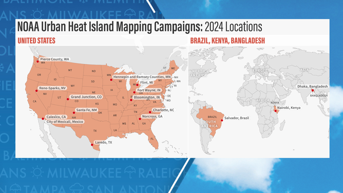
Bloomington is among 13 cities worldwide that will map the hottest neighborhoods in their communities. According to city staff, identifying these areas, called urban heat islands, will help Bloomington take action to reduce the health impacts of extreme heat and provide cooling relief for those living in the hottest areas.
Urban heat islands are areas characterized by fewer trees and more pavement, which can make them up to 20 degrees Fahrenheit hotter than nearby neighborhoods.
Extreme heat has been the number one weather-related cause of death in the U.S. for the last three decades. Summer 2023 was Earth’s hottest on record, and communities across the globe felt the heat and its impacts on health, infrastructure, agriculture, and more.
City staff, students, and community members will hit the streets of Bloomington this summer to collect data about heat distribution as part of a regional effort to map where people are most at risk during extreme heat waves. Using heat sensors mounted on their cars, volunteer community members, led by the City’s Economic and Sustainable Development Department, will traverse neighborhoods in the morning, afternoon, and evening on one of the year’s hottest days. The sensors record temperature, humidity, time, and the volunteers’ location every second. The end-to-end program, including sensor technology, community engagement, analysis, and modeling, will be supported by CAPA Strategies. It allows communities to develop hyper-local descriptions of the hottest parts of their community and strategize mitigation options specific to Bloomington.

“The heat mapping campaign is an opportunity to raise awareness about and ultimately mitigate extreme heat’s root causes and impacts. Engaging community members to collect heat data in their neighborhoods builds awareness of the health risks of heat in those most directly affected,” said Shawn Miya, Assistant Director of Sustainability for the City of Bloomington.
The urban heat island map will be incorporated into Bloomington’s Climate Resilience Plan, which is currently being written with community input. The data will inform tree planting throughout the City and provide a framework for creating cool corridors along routes of high pedestrian and bicycle use. The campaigns will also provide insight that can be used to develop public education events.
Residents interested in participating in the urban heat mapping campaign should email sustain@bloomington.in.gov. To learn more about previous NOAA urban heat island mapping campaigns, visit https://capastrategies.com/capa-heat-watch/.

