

BEDFORD – Today we will have our first hard freeze of the season and possible snowflakes on Halloween.
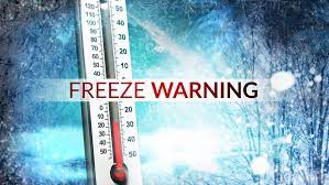
A Freeze Warning is in effect from 10 p.m. until 10 a.m. Tuesday morning. Sub-freezing temperatures as low as 22 are expected. Be sure to have heavier coats for the mornings sending kids to school or going to work.
Frost and freeze conditions will kill crops, and other sensitive vegetation and possibly damage unprotected outdoor plumbing.
Following this rain comes the colder temperatures for three days across the region. Highs will be around 40° Monday-Wednesday. Skies will be clearing Monday afternoon setting the stage for a sun-filled workweek for the most part.
Overnight lows will be in the 20s during that time period.
In addition to the cold, Halloween 2023 comes with the season’s first chance of seeing snowflakes. There will be a passing low-pressure center that will bring snow on its back end. Scattered rain and snow shower chances increase in the afternoon and will be around through Trick-or-Treating.
It will also be breezy with gusty southwest winds near 25 MPH. Not the most ideal weather for trick-or-treating so have the coat or extra layers/winter gear handy.
This cold snap will end starting Thursday with improvements in the temperature department. Highs approach 50° Thursday and return to the upper 50s/near 60° by next weekend. It’s possible a weaker boundary will move into the Midwest next and could bring light showers.

