

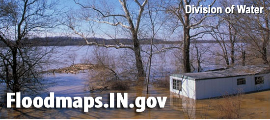
INDIANA – The Division of Water Floodplain Mapping is updated on the Indiana Department of Natural Resources website.
The August 2021 update of the Best Available Flood data has been completed.
Data has been updated for the following counties, with specific updated stream(s) in parenthesis:
- Boone (UNT Fishback Creek)
- Brown (UNT Middle Fork Salt Creek)
- Dearborn (UNT Laughery Creek)
- Gibson/Knox (White River)
- Hamilton (UNT William Lock Ditch)
- Johnson (Powell Ditch)
- Lake (Main Beaver Dam Ditch)
- Marshall (Dausman Ditch)
- Monroe (UNT Beanblossom Creek)
- Noble (Black Creek)
- Orange (Lick Creek)
- Tippecanoe (UNT Wabash River)
In addition, technical corrections were made to values in the CID field (County ID number) in all counties.
Please proceed to this site to download the data or to access a link to the REST service.

