

BEDFORD — High temperatures and stifling humidity are set to blanket portions of southwestern and central Indiana this week, prompting the National Weather Service (NWS) to issue a Heat Advisory remaining in effect until 8:00 p.m. Thursday.
Forecasters warn that peak heat index values—how hot it feels when humidity is combined with the air temperature—are expected to reach up to 105 degrees each afternoon. Additionally, muggy overnight conditions will offer minimal relief, increasing the risk of cumulative heat stress over the multi-day period.
Counties covered under the advisory include Daviess, Martin, Knox, Greene, Sullivan, Vigo, Owen, Clay, and Lawrence.
NWS Guidance and Precautions
A strong ridge of high pressure pushing Gulf moisture into the region is responsible for pushing temperatures roughly 12 to 15 degrees above seasonal early-September norms. Meteorologists at the NWS office in Indianapolis emphasize that heat-related illnesses can develop rapidly without proper exposure management.
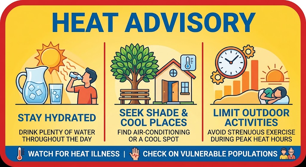
To stay safe during the advisory period, the National Weather Service advises residents to:
- Hydrate Frequently: Drink plenty of water and liquids throughout the day, even if you do not feel thirsty. Avoid sugary or alcoholic beverages, which can exacerbate dehydration.
- Limit Outdoor Exposure: Reschedule strenuous outdoor tasks or heavy exercise to the early morning or late evening hours.
- Stay in Air-Conditioned Spaces: Spend time in air-conditioned buildings whenever possible. If your home lacks air conditioning, seek refuge at public cooling sites, libraries, or shopping centers.
- Check on Vulnerable Individuals: Look in on elderly neighbors, relatives, outdoor workers, and those living without adequate cooling.
- Never Leave Children or Pets Unattended: Interior vehicle temperatures can climb to dangerous levels in minutes, even with windows cracked. Always check the backseat before walking away.
Weather models indicate the upper-level high-pressure system could shift by Friday, potentially bringing scattered shower chances and cooling conditions back into the 80s over the upcoming weekend.