


INDIANA—A shift in the jet stream has increased the potential for a statewide snowstorm in Indiana starting Tuesday evening.
A cold Arctic air mass that settled over the region this past weekend has pushed the jet stream south, guiding a storm system along a more southerly track. While initial forecasts focused on the heaviest snow in southern Indiana, recent trends indicate a potential northward shift, increasing snowfall chances for the entire state.
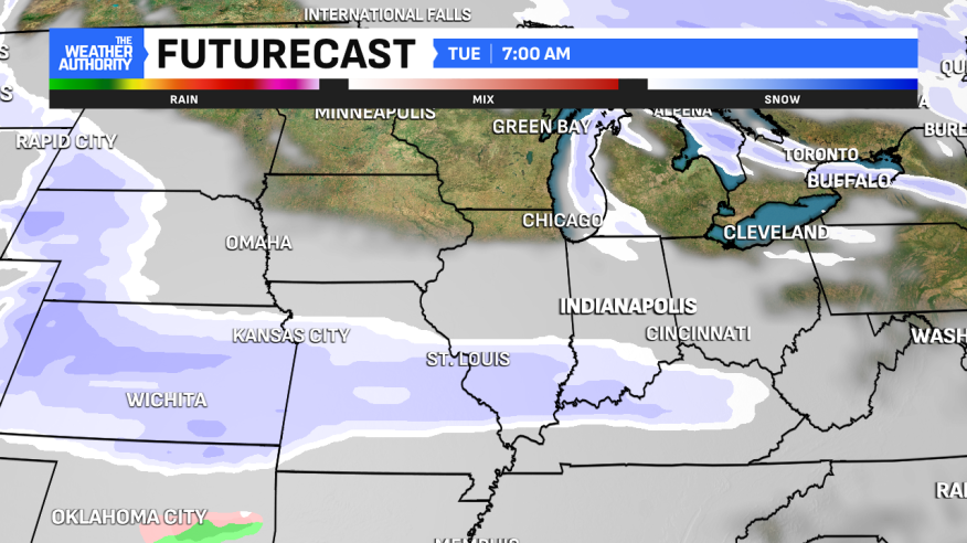
Snow is expected to arrive Tuesday evening, with the heaviest snowfall occurring between 10 p.m. Tuesday and 8 a.m. Wednesday. Lingering snow flurries are possible through Wednesday afternoon.
A low-pressure system developing over the Lower Mississippi River Valley will bring rain and ice to that region. Still, Indiana’s position further north in the cold air zone means all snow is expected. Light snow showers could begin in western Indiana after 1 p.m. Tuesday, with central Indiana seeing snow showers starting around 5-6 p.m. Eastern Indiana may experience heavier snow bands after 8 p.m. Tuesday. By early Wednesday morning, snow will be widespread across the state. The heaviest snow bands are still anticipated in southern Indiana, where snowfall rates are predicted to be highest.

An arctic air mass will remain over Indiana throughout the work week, with daily highs struggling to reach the teens and nightly lows dipping into the single digits, potentially near zero. Wind chill values are expected to fall into the zero to -10 degree range each night, with even colder wind chills possible in north-central Indiana.

