

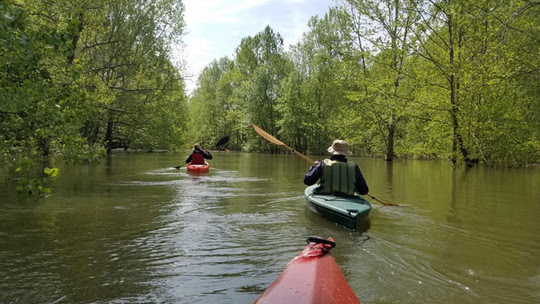
(UNDATED) – The Department of Natural Resources’ Division of Outdoor Recreation has launched a new interactive ‘Where to Paddle‘ map that is designed to highlight Indiana’s water trails.
The ‘Where to Paddle’ interactive map is a free resource designed to help paddlers who own a boat and those who want to rent one.

This comprehensive water trails map combines information from multiple agencies and divisions, both federal and state.
Included are:
- Public access sites
- The most up-to-date river miles
- Real-time river level gauges
- Low-head dams
- Watercraft rental locations
Those using the map can select a site to view location details and relevant information and can zoom in to see more features and the areas including satellite imagery, streets, or topography.

