

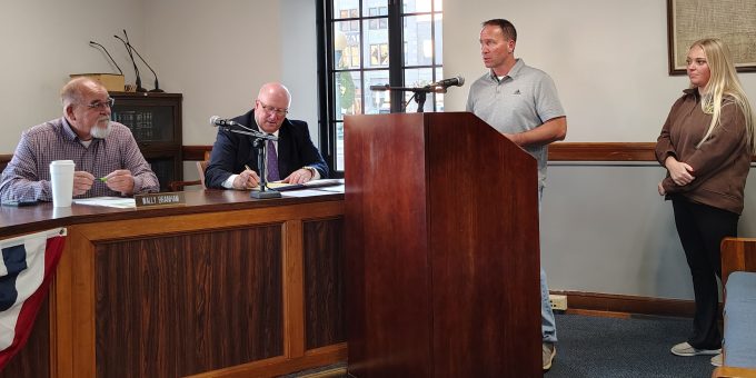
LAWRENCE CO. — The Lawrence County Commissioners on Tuesday morning approved a consulting agreement with Crossroads GIS Solutions Inc. to update and maintain the county’s crucial Geographic Information System (GIS) used by the Sheriff’s Department.
The agreement, signed between Lawrence County Emergency Management and the consulting firm, focuses on updating the county’s Motorola Solutions Flex/Spillman Geo validation GIS system. The upgrade is essential for maintaining accurate and effective dispatch and emergency response capabilities.
The project involves a comprehensive overhaul of the system’s mapping data, including:
- Centerlines
- Address points
- Block points
- Common places
- Points of interest
- Mile markers
- Railroad crossings
- All required zones
Crossroads GIS Solutions Inc. will be responsible for maintaining and publishing the Geovalidations and CAD maps. They will also assist with maintaining the Arc Server software. The consulting firm expects to complete the full system updates within two weeks.
The total cost of the consulting agreement is $39,750, with an additional $3,500 allocated for ArcPro updates. The county will pay the fee semi-annually, with the first payment scheduled for January 1, 2026.
This investment ensures that Lawrence County emergency services have the most current and validated spatial data for swift, accurate responses.

