

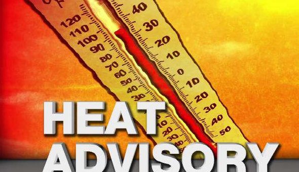
INDIANA – Residents of Bedford and the surrounding areas are urged to continue exercising extreme caution as a dangerous heatwave is expected to persist through Wednesday. The peak of the heat is anticipated for tomorrow, Tuesday, July 29th, with heat index values potentially soaring between 105 and 115 degrees Fahrenheit, with overnight temperatures in the mid-70s.
The National Weather Service advises everyone to take significant precautions to stay cool and hydrated during this period. Hot temperatures and high humidity may cause heat illnesses. Prioritize your well-being and limit outdoor activities. Stay in air-conditioned environments, drink plenty of fluids, and check on relatives and neighbors.
While the primary concern remains the oppressive heat, there’s a slight chance of isolated “pop-up” showers and thunderstorms in the coming days. Pockets of heavy rain will move across the Ohio Valley today. If these develop, the main threats will be heavy rainfall, gusty winds, and lightning. Residents should remain vigilant and monitor local weather updates.
A significant change in the weather pattern is expected Wednesday night into Thursday with the arrival of a cold front. This front is predicted to bring much-needed relief from the scorching temperatures. Along with cooler air, there’s a better chance of widespread showers and thunderstorms, which could help alleviate some of the dry conditions.
By Friday, August 1st, and Saturday, August 2nd, the region can expect much more comfortable conditions. Temperatures are forecast to drop into the 80s, providing a welcome respite after an extended period of extreme heat.

