


BLOOMINGTON – The National Weather Service (NWS) has released its initial findings on the tornado that tracked across Monroe, Brown, and Bartholomew counties on Friday night, May 16th.
The report indicates the twister was on the ground for just over 35 miles and approximately 45 minutes, reaching a peak intensity of EF-2 with wind speeds up to 128 mph and a width of 350 yards.
The tornado touched down at 7:27 p.m. nine miles southwest of Ellettsville and lifted at 8:11 p.m. just east of Grand View Lake, seven miles southwest of Columbus.
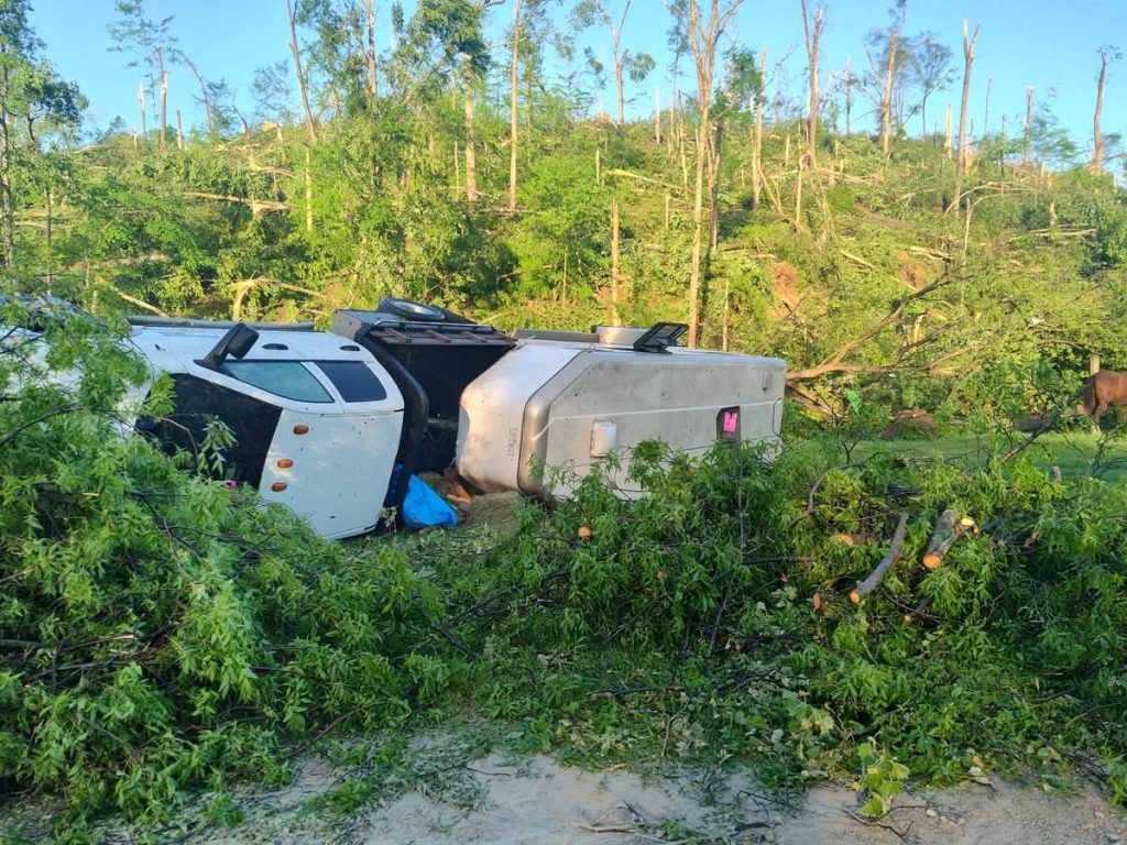
According to the NWS survey team, much of the tornado’s path moved through dense, wooded areas. It began as an EF-0 in Monroe County but intensified as it moved into Brown County State Park, reaching EF-2 strength. The Horseman’s Campground within the park, where several campers stayed, sustained a significant impact. The Brown County Volunteer Fire Department reported that three people were injured at the campground, with some treated at the scene by medics and others self-transporting to the hospital.
As the tornado continued eastward towards Mount Liberty Road, its intensity decreased to EF-0 or EF-1.
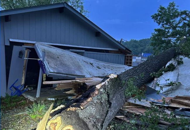
In Bartholomew County, the tornado’s path narrowed to between 100 and 200 yards, causing substantial tree damage and some EF-0 and EF-1 damage to buildings before dissipating east of Grandview Lake.
The National Weather Service confirmed that a total of four tornadoes struck Indiana on Friday night. Tragically, an EF-2 tornado in Greene County resulted in one fatality and three injuries. Additionally, an EF-0 tornado briefly touched down in Putnam County, and a separate tornado that originated as an EF-1 in Illinois weakened to an EF-0 as it crossed into Sullivan County, Indiana.

