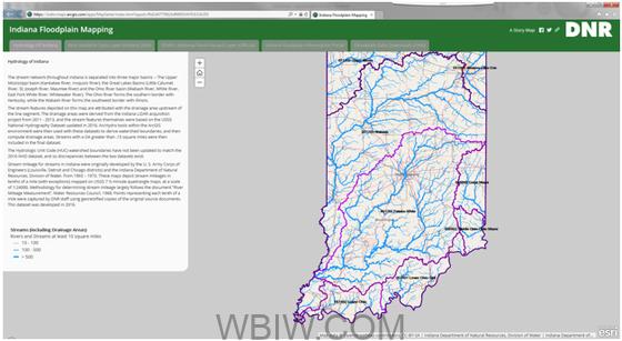
The Indiana DNR Division of Water has undertaken a project to create and update traditional Flood Insurance Rate Maps, which are published by FEMA, to include many more stream reaches than are currently officially published in the National Flood Hazard Layer.
These additional floodplain data include more than 18,000 stream miles of “Zone A” quality studies, with Base Flood Elevations and Floodway included. This page serves as a resource for obtaining the updated floodplain data for use in a local or county GIS, and for further analysis and planning.
Using the many detailed data sources developed by the State of Indiana (LiDAR and NHD especially), the Division created a semi-automated process where staff create a full hydrologic and hydraulic analysis of stream reaches using the USGS Streamstats program, the U. S. Army Corps of Engineers HEC-RAS hydraulic modeling program, and ArcGIS and ArcHydro tools and scripts.

The results for each stream reach are full floodplain limits, a mapped floodway, depth grids for 5 return intervals, Flood Elevation Points relaying the Base Flood Elevation every 50 feet along the stream, and the full modeling input and outputs for both the hydraulic models and the geospatial files.
The floodplain information is then being incorporated into a statewide data layer (the “Best Available Information” layer), that integrates the new floodplain information with the FIRMs, creating the most up to date layer for floodplain management. This layer is available of the Indiana Floodplain Information Portal (INFIP), and as an ArcGIS service.
This project has been supported with a series of grants from CDBG / OCRA, FEMA, the Maumee River Basin Commission and state funding.
For an interactive map or for more information, visit the DNR website.


