

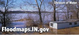
INDIANA – The Division of Water Floodplain Mapping has updated the Indiana Department of Natural Resources website.
The September 2021 update of the Best Available Flood data has been completed.
Data has been updated for the following counties, with specific updated stream(s) in parenthesis:
- Brown (UNT Lower Schooner Creek)
- Jackson (Dens Ford Ditch)
- Marion (Lawrence Creek, Steele Ditch)
- Vigo (UNT Little Honey Creek)
- Wells (Johnson Ditch)
Please proceed to this site to download the data or to access a link to the REST service.

