

(UNDATED) – The webpage Division of Water Floodplain Mapping is updated on the Indiana Department of Natural Resources website.
The page has been updated. View at this link
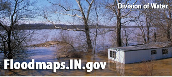
The February 2020 update of the Best Available Flood data has been completed.
Data has been updated for the following counties:
- Boone
- LaGrange
- Madison
- Morgan
- Owen
- Ripley
- Tippecanoe
- Warren

